Bild:Mapa de localització a la CCAA de Catalunya.svg

Größe der PNG-Vorschau dieser SVG-Datei: 596 × 600 Pixels. Anner Oplösungen: 239 × 240 Pixels | 477 × 480 Pixels | 764 × 768 Pixels | 1.018 × 1.024 Pixels | 2.036 × 2.048 Pixels | 850 × 855 Pixels.
Originaldatei (SVG-Datei, Utgangsgrött: 850 × 855 Pixel, Dateigrött: 762 KB)
| Beschrievung |
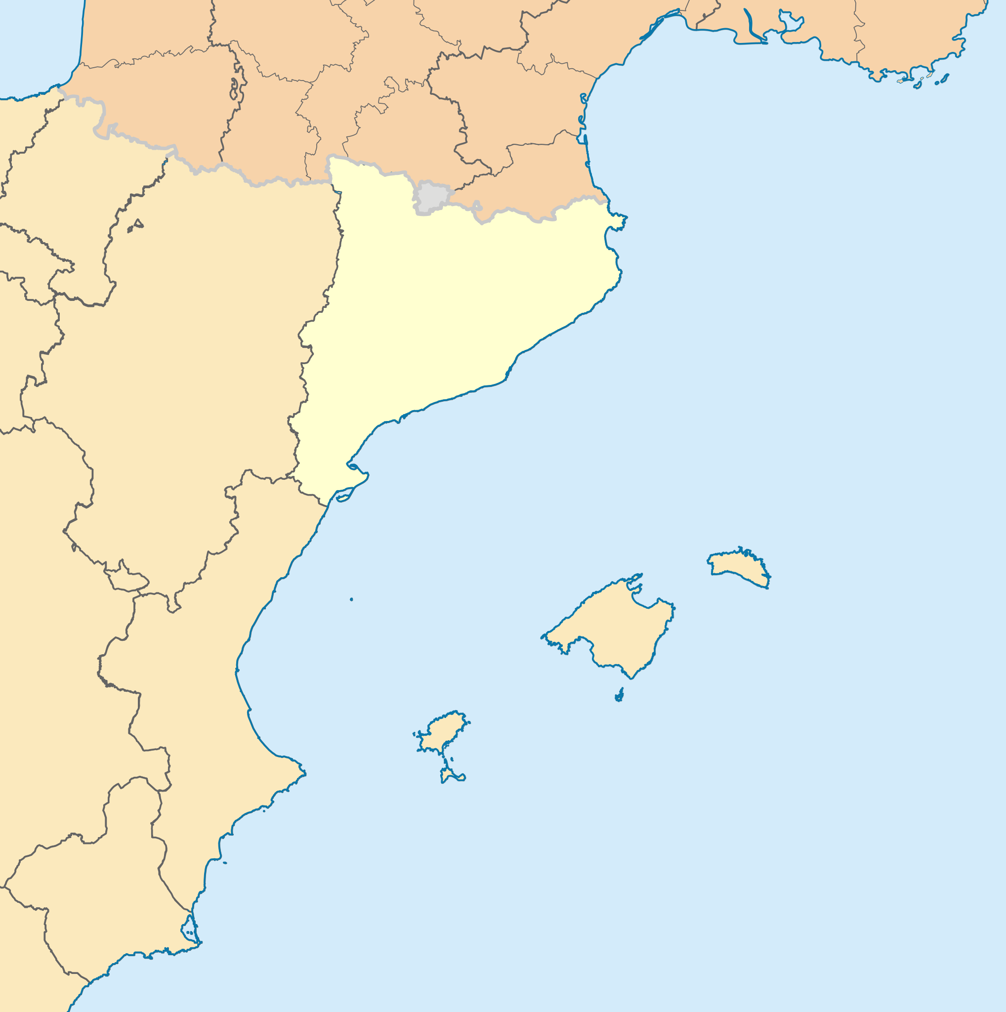
English: Blank administrative map of nord-est Spain for geo-location purpose, with regions. Approximate scale : 1:3,000,000 Français : Carte administrative vierge du nord-est de l'Espagne destinée à la géolocalisation, avec contour des régions. Equirectangular projection, WGS84 datumÉchelle approximative : 1:3 000 000 *Central meridian: 002° 06' E *True scale parallel: 46° 15' N Geographic limits of the map : *West : 005° 48' W *East : 10° E *North : 51° 30' N *South : 41° N Català: Mapa de les comunitats autònomes d'Espanya. |
| Datum/Tiet | (UTC) |
| Born | |
| Autor |
|
Disse Datei is verfögbar ünner de Creative Commons Attribution-Share Alike 3.0 Unported Afspraak.
- Du dröffst:
- wiedergeven – Kopien maken, an Annere wiedergeven un överdregen
- nee tohoopsetten – dat Wark verännern
- Ünner disse Bedingen:
- Naam nömen – Du musst den Naam von’n Autor oder von’n Afspraakgever in de von em fastleggte Wies nömen (aver nich so, dat dat utsüht, as wenn he di oder dien Gebruuk von dat Wark ünnerstütten deit).
- egaal wiedergeven – Wenn du dit Wark ännerst, afwannelst oder in en eegen Wark inboost, dörffst du dat nie’e Wark, dat dor bi rutkummt, man ünner desülve Afspraak oder een, de so temlich dat sülve is, rutgeven.
Ursprüngliches Datei-Logbuch
This image is a derivative work of the following images:
- File:France_location_map-Regions_and_departements.svg licensed with Cc-by-sa-3.0,2.5,2.0,1.0, GFDL
- 2009-02-02T16:12:50Z Yug 2000x1922 (772026 Bytes) Restore light style version ; a specific file name will be use for polygon departement maps.
- 2009-02-01T19:34:09Z Yug 2000x1922 (1849428 Bytes) restore East and southern border deleted by mistake + code improving.
- 2009-02-01T14:41:40Z Yug 2000x1922 (1852045 Bytes) Statistic friendly added, as an upper layer.
- 2008-11-07T13:23:10Z Sting 2000x1922 (772026 Bytes) + boundary for Channel Islands
- 2008-08-23T16:29:48Z Sting 2000x1922 (769918 Bytes) Larger strokes for boundaries
- 2008-07-25T17:35:54Z Sting 2000x1922 (770878 Bytes) Display bug
- 2008-07-25T17:28:38Z Sting 2000x1922 (772649 Bytes) Variable scale
- 2008-07-25T14:29:27Z Sting 2000x1922 (773101 Bytes) - border
- 2008-07-25T14:23:11Z Sting 2000x1922 (773214 Bytes) Other countries' color
- 2008-07-04T20:32:47Z Sting 2000x1922 (772973 Bytes) == Summary == {{Location|46|15|00|N|02|06|00|E|scale:10000000}} {{Information |Description={{en|Blank administrative map of [[:en:France|France]] for geo-location purpose, with regions and departements distinguished.Approxim
- File:Comunitats_autònomes_d'Espanya.svg licensed with Cc-by-sa-2.5
- 2007-03-02T08:43:02Z Ebrenc 644x458 (501215 Bytes) == Summary == {{Information |Description={{ca}} Mapa de les comunitats autònomes d'Espanya. |Source= [[:Image:Províncies d'Espanya.svg]] i [[:Image:Comunitats Autònomes.png]] |Date= 2 March 2007 |Author= Joan M. Borràs ([
- File:Map_of_Italy_blank.svg licensed with PD-self
- 2009-12-03T19:56:52Z F l a n k e r 1200x1500 (841149 Bytes) Added provinces of Molise
- 2009-12-03T00:15:46Z Vonvikken 1200x1500 (839705 Bytes) Fixed wrong borders between Abruzzo and Molise
- 2007-03-28T11:58:12Z F l a n k e r 1200x1500 (847741 Bytes)
- 2007-01-12T17:56:56Z F l a n k e r 1200x1500 (565393 Bytes)
- 2006-11-19T12:10:47Z F l a n k e r 1200x1500 (572318 Bytes) {{Information |Description=Blank map of Italy, divided in provinces. It can be easily divided even in regions. |Source= |Date=19 Nov. 2006 |Author=F l a n k e r |Permission= |other_versions= }}
Hochgeladen mit derivativeFX
Datei-Historie
Klick op de Tiet, dat du de Datei ankieken kannst, so as se do utseeg.
| Datum/Tiet | Duumnagelbild | Grött | Bruker | Kommentoor | |
|---|---|---|---|---|---|
| aktuell | 21:16, 4. Nov. 2023 | | 850 × 855 (762 KB) | Lojwe | Removing frame |
| 14:21, 7. Jan. 2010 |  | 855 × 855 (755 KB) | Martorell | Establishing units to pixels instead of mm. | |
| 13:43, 7. Jan. 2010 |  | 2.565 × 2.565 (598 KB) | Martorell | ViewPort established 1:1 to dimensions. | |
| 12:56, 7. Jan. 2010 |  | 512 × 512 (598 KB) | Martorell | No width nor height specified. | |
| 12:54, 7. Jan. 2010 |  | 256 × 256 (598 KB) | Martorell | ViewBox attribute was removed. | |
| 22:04, 2. Jan. 2010 |  | 256 × 256 (598 KB) | Martorell | Added frame border. | |
| 21:56, 2. Jan. 2010 |  | 256 × 256 (598 KB) | Martorell | {{Information |Description={{en|Blank administrative map of France for geo-location purpose, with regions and departements distinguished.<br/>Approximate scale : 1:3,000,000}} {{fr|Carte administrative vierge de la France des |
Dateibruuk
Disse Sieden bruukt dit Bild:
Allmeen Datei-Bruuk
Disse annern Wikis bruukt disse Datei:
- Bruuk op ca.wikipedia.org
- Bruuk op ca.wikinews.org
- Bruuk op fr.wikipedia.org
- Bruuk op sv.wikipedia.org